Skip to content

Ground penetrating radar gives you a way to see below a Central Florida site before anyone lifts a shovel or spins an auger. It sends radar energy into the soil, listens for what bounces back, and turns those echoes into a picture of what waits underground. On a state built over karst limestone, that early picture can change how you plan, budget, and build.
The ground here rarely matches the surface. Sandy soils sit over clay seams, groundwater rides high, and cavities form quietly as limestone dissolves over thousands of years. A non-invasive scan lets you gather real information about those conditions without the cost, delay, or disturbance of digging first. That head start is often what separates a smooth project from an expensive surprise mid-construction.
Ground penetrating radar lets you read the soil beneath a Florida parcel without breaking ground, so surprises turn into decisions you can plan around.
What Ground Penetrating Radar Actually Does
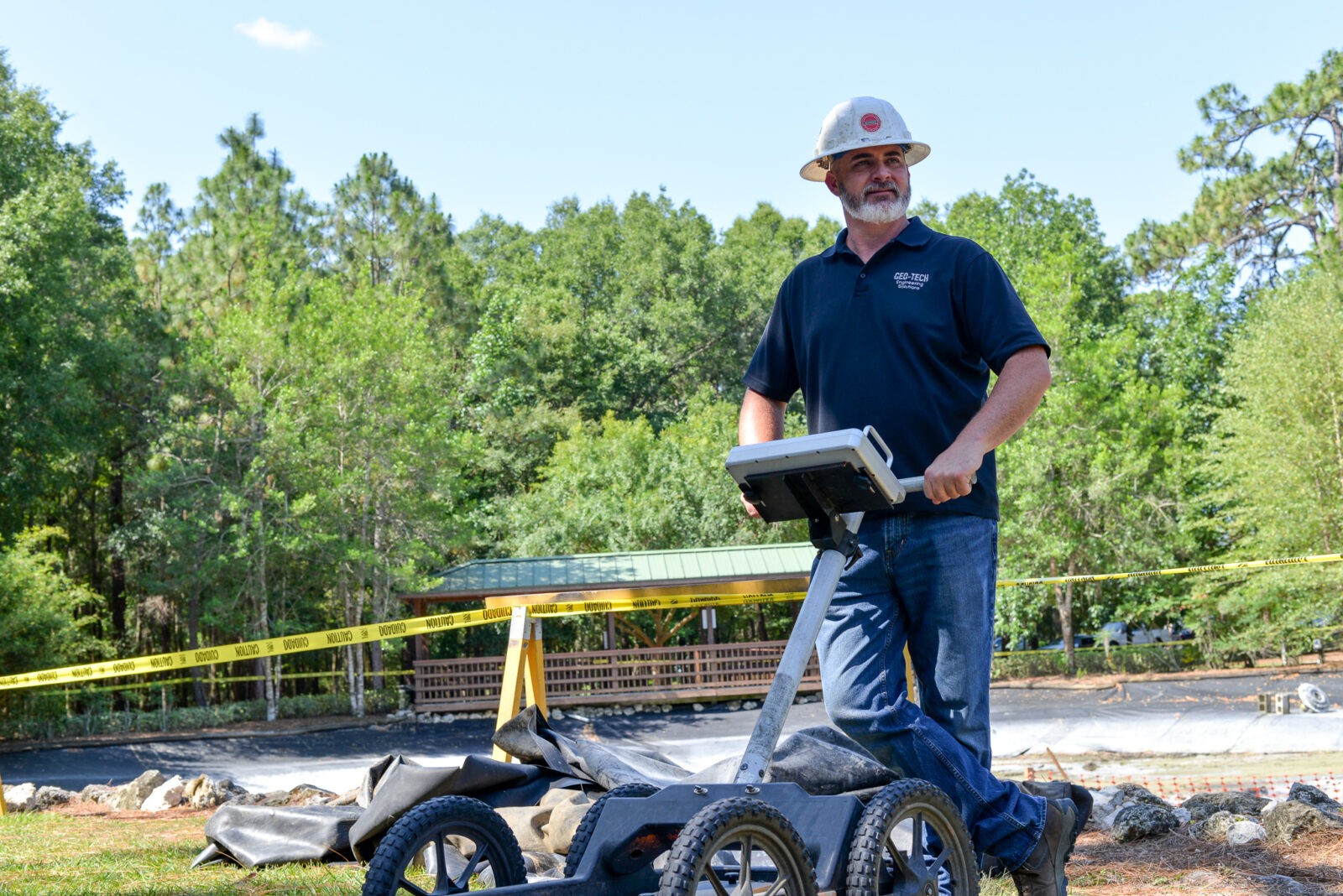
Ground penetrating radar works a lot like an echo. An antenna pushes short radar pulses into the ground, and whenever a pulse crosses a boundary between two different materials, part of that energy reflects back to the surface. The unit records the timing and strength of each reflection.
Those reflections map to real features. A shift from sand to clay, the top of bedrock, a buried pipe, or the edge of a void each return a distinct signal. By moving the antenna across a grid, our crews build a cross-section of the subsurface and flag anything worth a closer look. The denser the grid, the sharper that picture becomes, which is why careful field technique matters as much as the equipment itself.
What Ground Penetrating Radar Finds Below the Surface
The value of ground penetrating radar is in the range of things a single scan can reveal. On a Marion, Lake, or Sumter County site, one survey can point to soft zones and sinkhole potential, show the depth to a clay layer, and hint at where competent bedrock begins.
It is just as useful for man-made features. A scan can locate buried utilities, tanks, old foundations, and other objects before they turn into a costly surprise during excavation. That intelligence pairs naturally with our broader geophysical exploration services, which combine several methods to build a fuller subsurface picture.
Why Non-Invasive Scanning Matters in Florida
Non-invasive means no trenching, no test pits, and no disturbance to a finished slab, parking lot, or landscaped lot. You get answers while the surface stays intact, which matters on active sites, occupied properties, and parcels where digging blind carries real risk.
The simplest way to think about it: scan before you drill. Mapping voids and utilities first helps you place borings where they count, avoid striking a line, and steer clear of unstable ground. It is a low-impact first step that protects both your crew and your schedule. On sensitive or occupied sites, that ability to gather data without tearing anything up can be the difference between a green light and a stalled project.
The Limits of a Ground Penetrating Radar Scan
Ground penetrating radar is powerful, but it is not magic, and honest advice means naming its limits. Soil type and moisture strongly affect how deep the signal reaches. Wet, clay-rich, or highly conductive ground absorbs the pulses and shortens the usable depth, which is a real factor across much of Florida.
Because of that, a scan is best read as a guide, not a final verdict. It tells you where the anomalies are and where to focus, yet it does not replace a physical sample. The U.S. Geological Survey documents how widespread karst and dissolution features are in this region, which is exactly why we confirm what the radar suggests.
How Geo-Tech Pairs GPR With Confirmation Borings
Geo-Tech has run ground penetrating radar across Central Florida for more than 20 years and keeps three GPR units ready for the field. That experience taught us the strongest results come from pairing the scan with direct sampling rather than trusting either one alone.
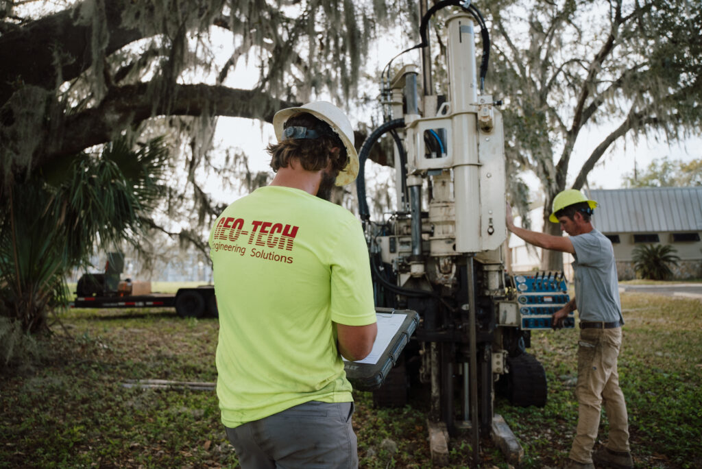
When a survey flags an anomaly, we target it with confirmation borings from our fleet of direct-push rigs, using SPT or CPT and lab-tested samples to define what is truly down there. This blend of GPR and drilling feeds directly into sound geotechnical engineering and reliable drilling services for your project.
How a Typical GPR Survey Works
Every site is different, but most GPR surveys follow the same practical path from first call to final answer.
01
Define the Target
We talk through your concerns, whether that is sinkhole potential, buried utilities, or depth to clay, and set the survey area.
02
Scan the Grid
Our crew moves the antenna across a measured grid, collecting continuous reflection data over the site.
03
Interpret the Data
We review the cross-sections, mark anomalies, and separate normal soil layering from features that deserve a closer look.
04
Confirm and Report
Where it matters, we place borings to verify findings, then deliver a clear report you can build on.
Ground penetrating radar fits a wide range of projects and questions. Here is where it tends to earn its keep and the specific conditions it helps you understand.
- New commercial and residential development
- Pre-purchase due diligence on raw land
- Sinkhole and void investigations
- Utility locating before excavation
- Roadway, parking, and pavement projects
- Voids and soft, raveling soil zones
- Depth to clay seams and bedrock
- Buried tanks, pipes, and conduits
- Old foundations and forgotten structures
- Areas that warrant confirmation borings