Skip to content

In Central Florida, the ground is rarely as solid as it looks, and sinkhole risk is the reason why. The limestone beneath much of the state slowly dissolves in groundwater over thousands of years, leaving behind cavities, soft clay seams, and the raveling soil that eventually becomes a sinkhole. A parcel can look perfectly buildable at the surface while a void quietly forms twenty feet down.
Assessing sinkhole risk is a question you answer with data, not a gut read of the property. Whether you are buying land, planning a foundation, or trying to explain a crack that keeps coming back, the goal is the same: understand what the subsurface is doing before it forces the decision for you. Geo-Tech has investigated sinkhole risk across Central Florida for more than twenty years, and the process is more straightforward than most owners expect.
“A sinkhole evaluation exists to replace ‘it looks fine’ with a clear picture of the sinkhole risk hiding below the surface.”
Why Florida ground creates sinkhole risk
Most of Florida sits on a foundation of limestone and dolomite, the kind of terrain geologists call karst. Rainwater is mildly acidic, and over long stretches of time it seeps down and dissolves that rock into channels and cavities. When the sand and clay above one of those cavities loses its support, it begins to ravel downward. Sometimes that shows up gradually as a shallow depression. Sometimes it opens all at once.
Central Florida, including Marion, Lake, Sumter, and the surrounding counties, sits in one of the more active regions of the state for this activity, which is why local sinkhole risk deserves real attention. Drought followed by heavy rain, aggressive groundwater pumping, and new drainage patterns from nearby construction can all speed the process along. None of this means a property is unbuildable. It means the subsurface deserves a proper look before anyone commits to a foundation design.
The warning signs, and why they are not enough on their own
Buildings and roadways usually signal a problem before a hole ever appears. The signs worth taking seriously include:
- Cracks in walls, floors, or foundations that keep widening
- Doors and windows that suddenly stick or will not latch
- Floors that slope, sag, or feel uneven underfoot
- Small circular depressions or slumping areas in the yard
- Fence posts, decks, or pavement pulling away from a structure
- Cloudy well water or a sudden change in water level
The catch is that every one of these can also come from something ordinary, like normal settlement, expansive clay, or poor compaction during construction. A crack does not confirm sinkhole risk, and a clean-looking yard does not rule it out. That is the entire reason a real investigation goes below the surface instead of stopping at what you can see.
How a sinkhole investigation actually works
Geo-Tech treats sinkhole potential as a sequence, moving from a non-invasive scan of the site to targeted borings that confirm what the data suggests.
01
Ground Penetrating Radar
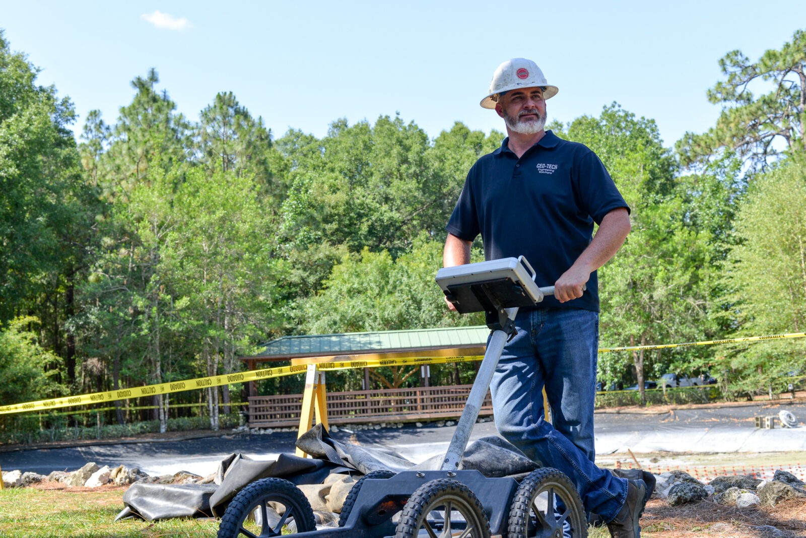
We start above ground. Ground penetrating radar maps the subsurface without digging, flagging depth to clay layers, possible voids, and irregular bedrock across the parcel.
02
Targeted Borings
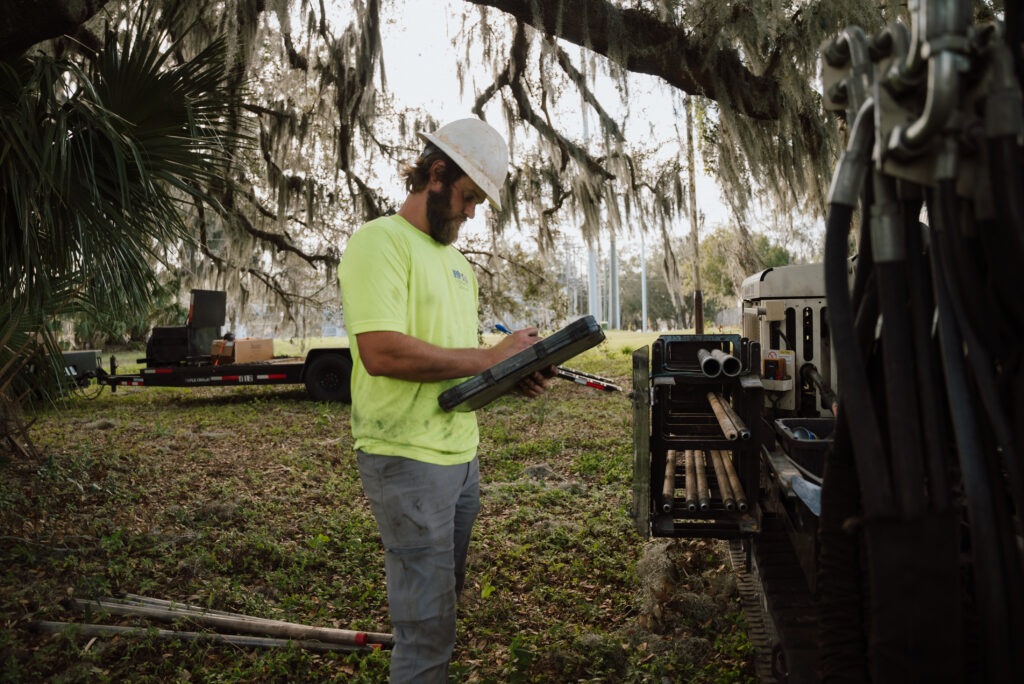
Where the scan raises questions, our direct push drill rigs recover soil samples at those exact locations to confirm whether raveling or a cavity is present.
03
Laboratory Analysis
Samples go to our accredited laboratory, where soil properties and layering are tested to separate genuine sinkhole activity from routine settlement.
04
Findings and Recommendations
You receive a clear report on the sinkhole risk and, where remediation is warranted, practical options such as grouting or a revised foundation design.
When to take sinkhole risk seriously
A sinkhole evaluation is worth the step in more situations than most people realize. Common triggers include:
- Buying or selling land in a karst-prone county
- New cracking in a home or commercial building
- A depression forming in a yard, lot, or roadway
- Foundation design on a previously undeveloped parcel
- An insurance or lender request for subsurface data
- A neighbor’s confirmed sinkhole activity
- Repairs that keep failing in the same spot
- Roadway or pavement that continues to settle
- Retention pond or drainage changes near a structure
- Renewed concerns after heavy rainfall or a storm
What a Geo-Tech sinkhole report gives you
At the end of an evaluation, you should not be left guessing. A Geo-Tech report translates the field and laboratory data into a plain-language read on sinkhole risk for the specific parcel, including the depth and character of any suspect zones. Where the findings warrant it, the report lays out practical next steps, from compaction grouting to a revised foundation approach, so the design team can move forward with confidence instead of assumptions. That is the whole point of the work: turning an invisible unknown into a decision you can actually stand behind.