Skip to content

Geotechnical engineering exists because every structure in Florida ultimately rests on what you can’t see. Soil that looks solid at the surface can hide soft organic layers, shifting clay, or the early signs of a sinkhole. Geotechnical engineering is the discipline of reading those subsurface conditions and translating them into decisions a builder can actually use, from foundation design to roadway sections to water retention basins.
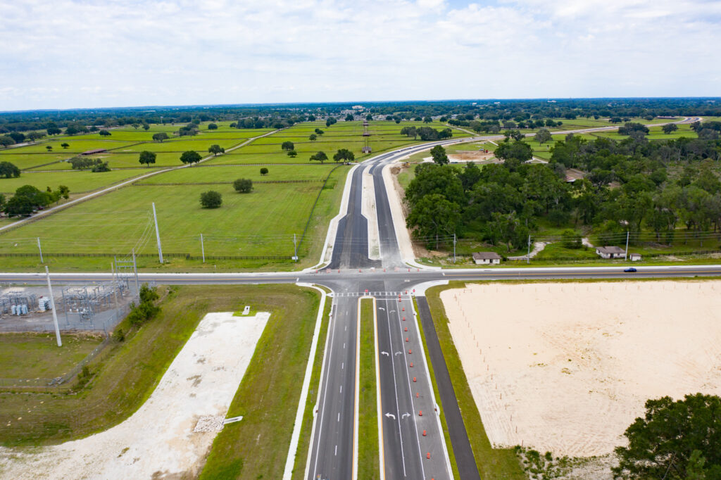
At its core, geotechnical work is a subsurface soils evaluation. Geo-Tech performs these evaluations for foundation design, roadway design, water retention and detention basin design, sinkhole evaluation, and a range of other geo-engineering applications tied to both pre- and post-construction activity. The same expertise also drives forensic work: when a roadway cracks or a building settles unevenly, a geotechnical investigation is what explains why.
"Subsurface soils evaluations exist so that foundation, roadway, and drainage decisions rest on data instead of assumptions."
Why geotechnical engineering starts with the ground
Florida’s geology is unusually demanding. Beneath a buildable surface you may find loose sands, compressible organics, high groundwater, or limestone that dissolves over time into voids and sinkholes. A foundation designed for one soil profile can fail badly on another. That’s why the first questions on any serious project aren’t about the structure at all, they’re about the site.
A geotechnical engineering program answers those questions directly. It establishes the suitability of native soils for construction, evaluates soils for existing and proposed roadways, analyzes groundwater elevation, and assesses foundation settlement before it becomes a problem. On sinkhole-prone parcels, it also delivers a dedicated sinkhole evaluation and, where needed, remediation recommendations.
How a subsurface evaluation comes together
01
Initial Consultation
Understanding project requirements and goals before any equipment reaches the site.
02
Site Analysis
Conducting field investigations and gathering subsurface data across the parcel.
03
Laboratory Testing
Testing soil and rock samples to determine their engineering properties.
04
Engineering Recommendations
Delivering detailed reports with practical solutions and foundation designs.
Where geotechnical engineering gets its data
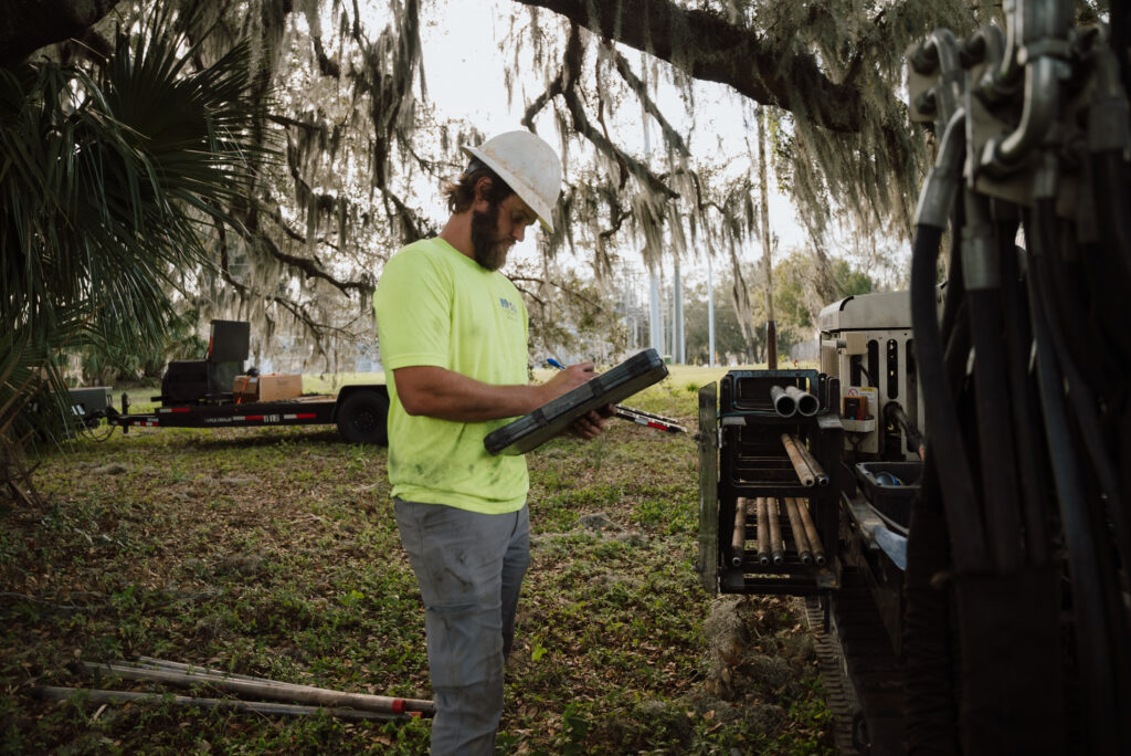
The recommendations are only as good as the data underneath them, and that data comes from the field. Geo-Tech operates seven track-mounted direct push drill rigs capable of recovering an undisturbed soil sample from the surface all the way to the boring’s termination depth. Those rigs run Standard Penetration Test (SPT) borings, Cone Penetration Test (CPT) soundings, auger borings, and field permeability testing, among others, giving the engineering team a layered picture of what’s below.
When the concern is a void or a dissolving clay layer rather than soil strength, the investigation goes non-invasive. Geo-Tech has run ground penetrating radar across Central Florida for more than twenty years and currently houses three GPR units. GPR is used to determine sinkhole potential, depth to clay layers, and bedrock formations, so a suspected void can be mapped before anyone breaks ground. Public projects often follow the exploration standards set by the Florida Department of Transportation, and recovered samples move to our accredited laboratory for testing.
Together, the borings, the radar, and the laboratory results give the engineering team a complete picture, so a geotechnical engineering recommendation reflects the real conditions on the site instead of an assumption about them. That is what separates a report a builder can rely on from an educated guess, and it is the entire point of doing the work before the ground forces the decision.
- Sinkhole evaluation & remediation
- Foundation design suitability
- Roadway soil evaluation
- Forensic geotechnical review
- Foundation settlement analysis
- Preliminary site evaluations
- Site preparation procedures
- Verification of site prep
- Groundwater & elevation surveys
- Soil hydraulic permeability